| Other
Services and Support |
|
|
| |
|
|
3D
Surface Modelling
- Computer modeling and analysis of 3D surfaces
specialising in Digital Terrain Models (DTM). 3D viewing
and draping of vector and raster data.
General
-
Government liaison and lobbying
-
Exploration company management
-
Developing country operations and logistics
management
-
MapInfo - with Discover & GeoBasemap add-ons
-
Vertical Mapper
(surface gridding in MapInfo)
-
FracSIS (3D viewer
for combining a variety of data formats)
-
Rockworks (drillhole
database and visualisation)
-
Corel, paint/image
packages
- Adobe Suite of products - IllIustrator,
Photoshop, CS5
-
Dreamweaver (for
web page development)
-
Google Earth Pro & Global Mapper
(satellite image & DEM acquisition)
-
CBD office facilities, with spare
workstations (for mobile clients)
-
- GTCO digitizing tablet (A1 size)
-
Plotter - HP 800PS (Large
Format)
-
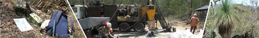
Field equipment – sampling,
camping, navigation, 4WD operations, off-road trailer
-
Car, rigid truck and motorcycle
licences
-
Advanced 4WD skills, including
towing
- Quad bike, all terrain vehicle (ATV) and motorcycle
-
Safety awareness and practices
at high levels
|
|
|
|
|